Severe Weather Alert for 31 May 2026: River Flood Warnings Continue Along Parts of the White River
Flood warnings remain active for portions of the East Fork White River and White River in southern Indiana.
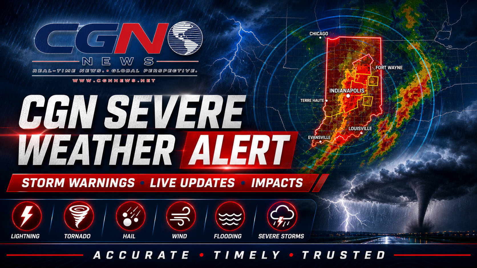
INDIANAPOLIS | River flooding remains the weather hazard to watch in parts of southern and southwestern Indiana on 31 May 2026. This is not a thunderstorm alert for Indianapolis. It is a river-flooding alert tied to National Weather Service flood statements for the East Fork White River at Seymour and the White River at Petersburg and Hazleton.
The National Weather Service in Indianapolis said flood warnings continued for those river locations after recent rainfall pushed water into low-lying areas. The concern is focused on rivers, flood-prone roads, agricultural land and low ground near affected waterways.
Flood warnings can remain in effect after rain has ended because rivers respond more slowly than streets or small creeks. Water upstream can continue moving downstream, keeping river levels elevated even when the sky looks quiet and the daily forecast appears favorable.
Drivers should not cross flooded roads. The National Weather Service’s standard public-safety message remains the simplest guidance: turn around, don’t drown. It is especially important at night or on rural roads where water depth and road damage can be difficult to judge.
Residents near affected river locations should follow local emergency management, county road closures and official river updates. Do not rely on visual estimates from a distance. Moving water can undermine pavement, cover debris or hide drop-offs.
For Indianapolis and most of Central Indiana, the day’s forecast is mainly dry and warm. That does not cancel the flood risk farther south and southwest. River flooding is often a geographic hazard, affecting specific corridors while nearby communities experience ordinary weather.
The next thing to watch is the timing of river crests and recessions. Seymour was expected to improve sooner than some lower White River locations, while flooding along the White River at Petersburg and Hazleton was expected to last into the first part of the workweek. Residents should keep checking official updates until warnings are canceled.
Additional Reporting By: National Weather Service; NOAA Water Prediction Service; WTHR
What this means
For readers, this alert is about river flooding, not severe thunderstorms. The practical risk is flooded roads, low ground and delayed river response after rain.
The safest action is to avoid flooded roads and follow county and National Weather Service updates until warnings are canceled.