Severe Weather Alert for 25 May 2026: NWS Flood Warnings and Dense Fog Conditions Affect Parts of Indiana
Official National Weather Service products support river flood warnings in parts of Indiana and dense fog conditions early Monday in northern Indiana.
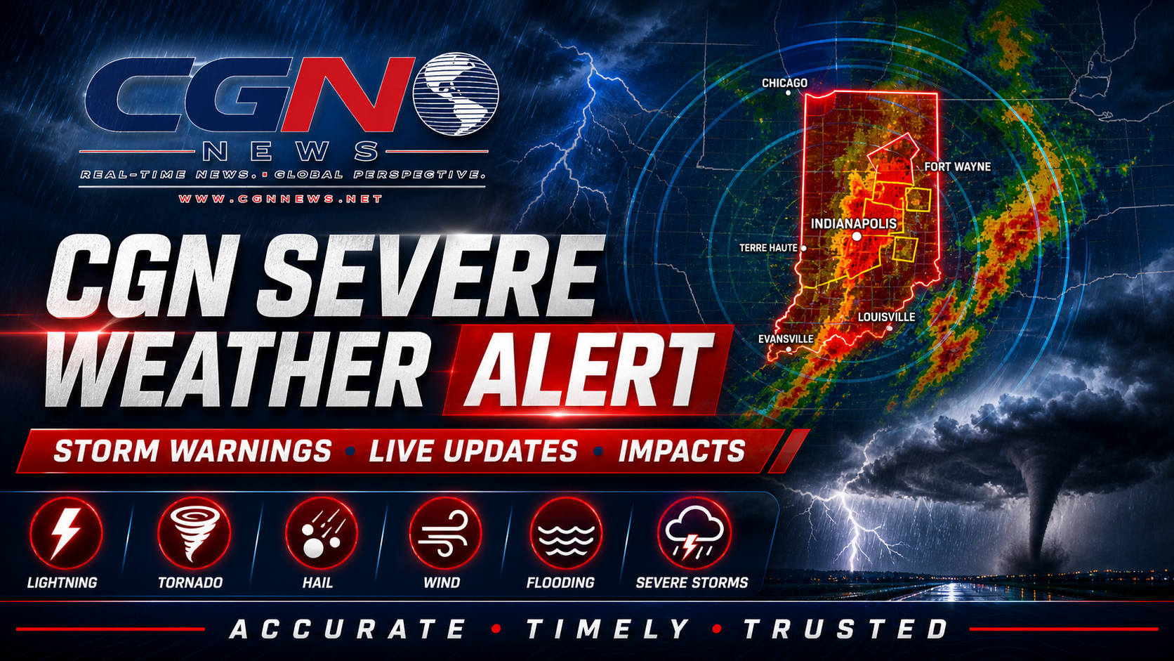
INDIANAPOLIS | Parts of Indiana remain under official National Weather Service flood and fog-related weather concerns Monday, but the alert should be framed precisely and not treated as a statewide severe-storm event.
NWS Indianapolis listed flood warnings for portions of the East Fork White River and White River system, including locations such as Rivervale, Bedford, Williams, Edwardsport, Petersburg, Hazleton and Seymour in its warning summaries. Those warnings are tied to river flooding rather than active thunderstorm damage.
NWS Northern Indiana also showed dense fog advisory conditions early Monday, including areas where drivers could face reduced visibility before fog lifts. That supports a public-safety message for travel, especially during morning holiday movement, but it does not support tornado, damaging wind or severe thunderstorm wording.
Residents near warned rivers should avoid flooded roads, respect barricades and monitor local emergency guidance. Drivers in fog-prone areas should slow down, use headlights and leave extra space until visibility improves.
This alert is publishable only with that narrow wording: river flood warnings and dense fog conditions in affected parts of Indiana. It should not imply that all of Indiana is under a severe weather emergency.
Additional Reporting By: National Weather Service Indianapolis; National Weather Service Northern Indiana; NOAA
What this means
For readers, the alert is practical and localized: avoid flooded roads near warned rivers and use caution in dense fog areas. This is not a blanket statewide severe-thunderstorm warning.