Special Weather Statement Issued for Parts of Central Indiana
The National Weather Service in Indianapolis says strong thunderstorms moving through parts of central Indiana could produce winds over 40 mph, while a Severe Thunderstorm Watch and Flood Warning remain active.
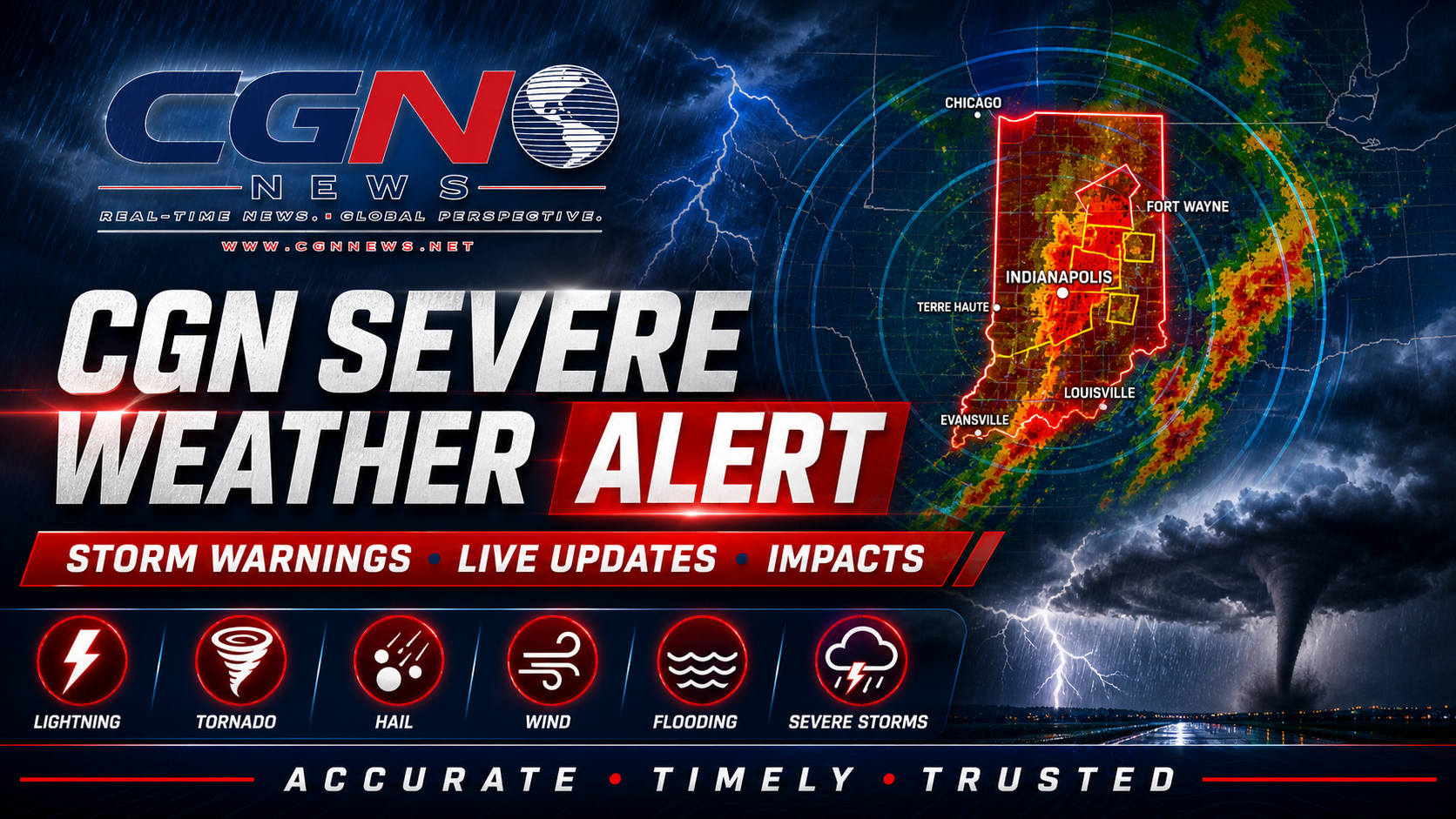
INDIANAPOLIS | The National Weather Service in Indianapolis has issued a Special Weather Statement for parts of central Indiana as strong thunderstorms move through the region.
The statement includes parts of central and east-central Indiana, including southeastern Marion County, southeastern Hamilton County, Hancock County, Delaware County, western Henry County, southern Madison County, northeastern Johnson County, northwestern Shelby County, northwestern Rush County and northwestern Randolph County.
As of the National Weather Service statement, radar was tracking strong thunderstorms along a line from near Alexandria to east of Beech Grove, moving east at about 35 mph.
The main hazard is gusty wind. The National Weather Service says winds in excess of 40 mph are possible with these storms.
Gusty winds could knock down tree limbs and blow around unsecured outdoor objects. Residents should secure loose outdoor items where safe to do so and move inside a sturdy building if storms approach.
A Severe Thunderstorm Watch remains in effect until 6:00 PM EDT for parts of central and east-central Indiana. A Flood Warning is also in effect for parts of central Indiana, including Marion County, because flooding caused by excessive rainfall is expected.
CGN Weather is treating the Flood Warning as the highest-priority alert card, followed by the Severe Thunderstorm Watch and then the Special Weather Statement. That order reflects the National Weather Service alert structure: a Flood Warning means flooding is expected or occurring, while a Special Weather Statement highlights strong storms below warning criteria.
Drivers should not attempt to cross flooded roads. Turn around, don’t drown. Water over roads can be deeper and faster-moving than it appears, especially during heavy rainfall and poor visibility.
People with outdoor plans, school activities, evening commutes or local events should monitor official National Weather Service updates, NOAA Weather Radio, local emergency management and CGN Weather radar updates.
This is not a CGN-issued weather warning. Official watches, warnings and statements come from the National Weather Service and NOAA. CGN Weather is relaying the official alert information and explaining what it means for readers in central Indiana.
Additional Reporting By: National Weather Service Indianapolis; NOAA; CGN Weather
What this means
This matters because strong thunderstorms can still create localized hazards even when they are below severe-warning criteria. Winds over 40 mph can bring down small limbs, move unsecured outdoor objects and create dangerous travel conditions during heavy rain.
Readers should treat the Flood Warning as the top safety concern, keep the Severe Thunderstorm Watch in mind through 6:00 PM EDT, and use the Special Weather Statement as a signal that strong storms are moving through parts of central Indiana now.